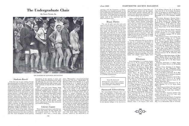
MAP OF THE DARTMOUTH TRAIL
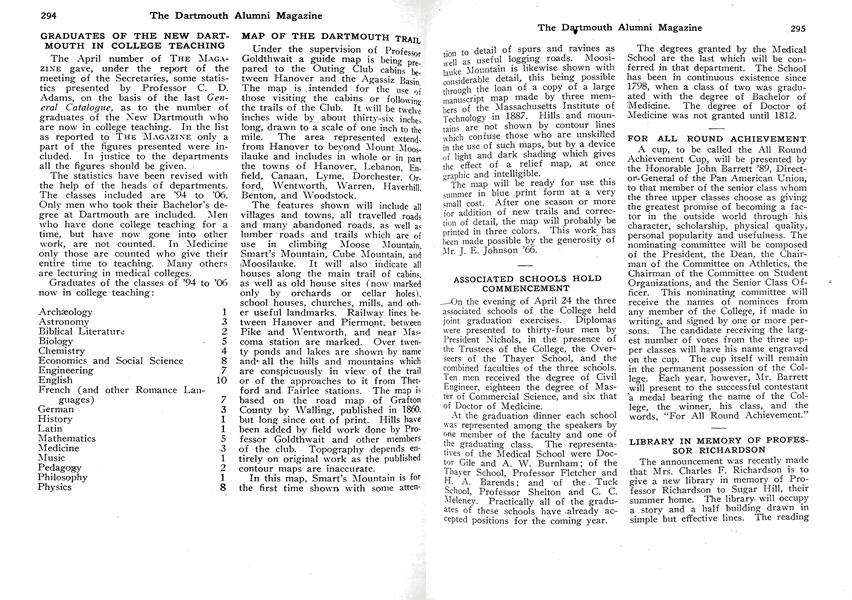
Under the supervision of Professor Goldthwait a guide map is being perpared to the Outing Club cabins between Hanover and the Agassiz Basin. The map is intended for the use of those visiting the cabins or following the trails of the Club. It will be twelve inches wide by about thirty-six inches long, drawn to a scale of one inch to the mile. The area represented extend, from Hanover to beyond Mount Moosnauke and includes in whole or in pan the towns of Hanover, Lebanon, Enfield, Canaan, Lyme, Dorchester Orford, Wentworth, Warren, Haverhill Benton, and Woodstock.
The features shown will include all villages and towns, all travelled roads and many abandoned roads, as well as lumber roads and trails which are of use in climbing Moose Mountain. Smart s Mountain, Cube Mountain, and Moosilauke. It will also indicate all houses along the main trail of cabins, as well as old house sites (now marked only by orchards or cellar holes) school houses, churches, mills, and other useful landmarks. Railway lines between Hanover and Piermont, between Pike and Wentworth, and near Mascoma station are marked. Over twenty ponds and lakes are shown by name and* all the hills and mountains which are conspicuously in view of the trail or of the approaches to it from Thetford and Fairlee stations. The map is based on the road map of Grafton County by Walling, published in 1860. but long since out of print. Hills have been added by field work done by Professor Goldthwait and other members of the club. Topography depends entirely on original work as the published contour maps are inaccurate.
In this map, Smart's Mountain is for the first time shown with some attention to detail of spurs and ravines as well as useful logging roads. Moosilauke Mountain is likewise shown with considerable detail, this being possible through the loan of a copy of a large manuscript map made by three members of the Massachusetts Institute of Technology in 1887. Hills and mountains are not shown by contour lines which confuse those who are unskilled in the use.of such maps, but by a device of light and dark shading which gives the effect of a relief map, at once graphic and intelligible.
The map will be ready for use this summer in blue print form at a very small cost. After one season or more for addition of new trails and correction of detail, the map will probably be printed in three colors. This work has been made possible by the generosity of Mr. J. E. Johnson '66.