The Old Sod: Summits Above and Graves Below
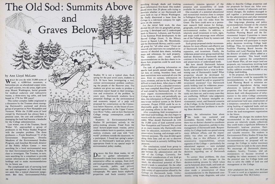
WHAT do you do with 35,000 acres of land, a 4,000-foot mountain, a bottomless pit, an abandoned copper mine, two golf courses, two ski areas, eight acres atop Mount Washington, burial grounds for medical cadavers and radioactive wastes, a three-story log cabin, and land leased in 1774 for 999 years?
This rather complex riddle originated in a discussion by the Trustees about managing Dartmouth's scattered and diverse group of properties in New Hampshire and Vermont. While the 35,000 acres of land owned by Dartmouth has always:' been a precious asset, the cost and confusion of managing the land had become a headache for the College administration.
Last winter, one of the Trustees, David Weber '65, approached a group of professors in the Policy Studies Program with the complex problem. The three professors - Frank Smallwood '51 of the Government Department, Donella Meadows of the Environmental Studies Program, and Jonathan Brownell, director of the Public Affairs Center - were searching for a local environmental issue for their Environmental-Policy Studies 50 class to investigate. The Trustees, in turn, were searching for a consultant to provide current information on Dartmouth's land holdings and to make recommendations for its future use.
The complicated task of surveying land use and management at Dartmouth may not seem like a typical classroom assignment. But then, Environmental-Policy Studies 50 is not a typical class. Each spring for the past seven years, students in E.S. 50 have been investigating a real, current environmental problem confronting the people of the Hanover area. The students are given ten weeks to produce a consultant report based on their investigation and evaluation of the problem. In years past, Dartmouth students have presented findings on the environmental and economic impact of a pulp mill proposed for construction on the Connecticut below Hanover, on the future of commercial agriculture in the Upper Connecticut River Valley, and on how Dartmouth College energy consumption could be reduced.
Students in Environmental-Policy Studies 50 participate actively in the policy-making process. Freed from the usual lecture-paper-exam routine, policy studies students learn to question, research, analyze, evaluate, and cope with "real-world" problems outside the classroom. As a participant, I found last spring's assignment on Dartmouth's land-use policy an appropriate finish to my special major in environmental policy studies.
DURING the first three weeks, we set out to gather information on Dartmouth's lands from virtually every administrative office on campus, from state and local government officials, county and town records, public and private organizations, students, faculty, and townspeople. We spent hours exploring properties and back country roads, searching through deeds and tracking down information first-hand. One student placed more than 20 phone calls trying to ascertain whether or not Dartmouth still owns land on top of Mount Washington. He finally discovered a lease from the College to a television company for eight acres on the summit.
For the initial field work, the class divided the job into six geographic groups, covering 1) developed and 2) undeveloped lands in Hanover, Lebanon, and Norwich; 3) the Eastman Pond development; 4) the Second College Grant; 5) the Minary Center at Squam Lake, Mt. Moosilauke, and the Dartmouth Skiway; and 6) a catchall group for "all other areas." From our research and interviews we compiled an inventory of detailed data sheets, including maps and references, for each property. The students also made specific recommendations on the data sheets to indicate how properties could be used more effectively.
The task of gathering information on specific land parcels seemed endless. Essential data on zoning, boundary lines, and deed restrictions were scattered all over the state. Even on campus, information on taxes, revenues, and use by the College was difficult to track down. After close to 1,000 student-hours of work, a detailed inventory had been compiled describing 457 parcels of land owned by Dartmouth. One of our most urgent recommendations to the College was to store, and periodically up-date, this information in Project FIND, an easy-to-use retrieval system in the Kiewit computer. Project FIND could be an indispensable guide for land management and planning efforts in the future.
After completing field investigations of individual land-holdings, the class began to wrestle with the central issue in the original riddle: What should Dartmouth do with the 35,000 acres of land scattered across New Hampshire and -Vermont? We arrived at six main reasons why Dartmouth owns land: for education, recreation, wilderness preservation, housing, and strategic and investment purposes. The class divided again along these lines and set out to discover how Dartmouth is currently fulfilling these purposes.
Our conclusions varied from group to group. Generally, we found an information gap between the administration and the rest of the College. Currently, few educational considerations of any kind go into land-management decisions. As a result, the educational potential of Dartmouth's lands is unrealized. On the other hand, the recreational group discovered a wide variety of opportunities offered by the College on Dartmouth lands. Unfortunately, however, most of the Dartmouth community remains ignorant of the presence and accessibility of lands available for recreation close to campus.
One example of a potential educational and recreational resource close to campus is Fullington Farm on Lyme Road, a 220-acre property only two miles from the Green. The farm could serve as a permanent research field station for biology, geography, earth sciences, engineering, and environmental studies. In addition, a relatively small investment in trails, signs, and maps could encourage more efficient use of the Fullington Farm by runners and cross-country skiers.
Each group proposed similar recommendations for more efficient and effective use of Dartmouth lands in housing, facilities expansion, and investment. Finally, the wilderness preservation group resolved that land-use decisions at Dartmouth should continue to be based on respect for nature and preservation of undeveloped lands.
But how should Dartmouth balance these different potential uses? Should the faculty and students have a voice in determining uses of Dartmouth's lands? What properties should be developed for housing? How do we plan for future needs? What lands should be sold or acquired for investment purposes? Can Dartmouth justify holding land for wilderness preservation alone with no financial return?
The answers to these questions are certainly not clear-cut, and in many cases they are conflicting. Difficult value judgments are necessary to balance intangible environmental, social, and financial concerns of the College. In the Dartmouth case, the class found additional problems in resolving these decisions.
FIRST, the information base about the lands was scattered and incomplete. Second, within the College there was no distinct channel to coordinate the acquisition, disposition, and day-to-day management of Dartmouth lands. Responsibility for College lands was spread among many different offices, and the responsibility was often not clearly defined. Finally, due to this diffusion of administrative responsibilities, certain segments of the College - particularly the educational segment - were excluded from long-range planning and policy decisions regarding use of Dartmouth lands.
To correct these problems, the class recommended a few changes in the decision-making process by which values can be balanced, plans made, and lands administered. In late May, members of the class made a presentation of these recommendations to the Dartmouth community, using maps, diagrams, and color slides to describe College properties and our proposals for future use. After over-coming the anxiety of rehearsals and last-minute changes, the students managed to pull together a professional presentation for the administration and other interested members of the Dartmouth community.
Our long-range planning and policy recommendations focused on the creation of a Land Master Plan and on the modification of the already existing Facilities Planning Board and the Environmental Impact Committee to insure that a broad range of College constituencies and interests will participate in major policy decisions involving College landholdings. Thus, we recommended that the Facilities Planning Board become the Facilities and Land Planning Board, with the director of outdoor affairs added as a permanent member. This board would review and approve the comprehensive Land Master Plan, all new major land use proposals, any transactions involving land parcels worth more than $10,000, and any facility addition exceeding $10,000 to any College land-holding.
In the proposal, the Environmental Impact Committee would be responsible for recommendations to the Facilities and Land Planning Board to minimize environmental degradation during major alterations in land-use on Dartmouth properties. Our final specific recommendations dealt with dissemination of information to the entire College community about current and potential educational and recreational land uses; employment of a temporary consultant to clear up the existing backlog of neglected lands; and use of the Committee on Administration to review the land-management organization in the future.
Although the changes the students have recommended in the decision-making process are relatively simple, collectively they could make a significant difference in Dartmouth's land-use practices. Dartmouth's land-holdings constitute a unique and valuable resource. The students in Environmental-Policy Studies 50 hope that the information we gathered and the recommendations we proposed will encourage the College to realize maximum potential from its lands in the years ahead. We encourage all Dartmouth alumni, students, faculty, Trustees, and administrators to become involved in weighing the values necessary to balance the potential uses for College lands and thus to solve the riddle of land use and management at the College.
After graduation last June, Ann McLane'7B went to work as a legislative assistantto Congressman Pete McCloskey.

Features
-
 Feature
THE REASONS Behind Corporate Gifts to Dartmouth
November 1955 -
 Feature
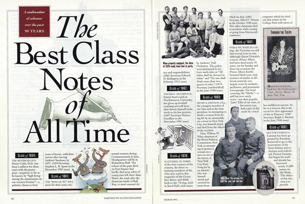
The Best Class Notes of All Time
MARCH 1992 -
 Feature
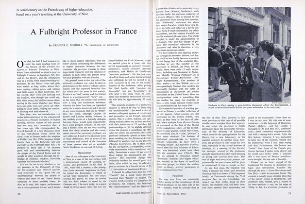
A Fulbright Professor in France
NOVEMBER 1967 -
 Feature
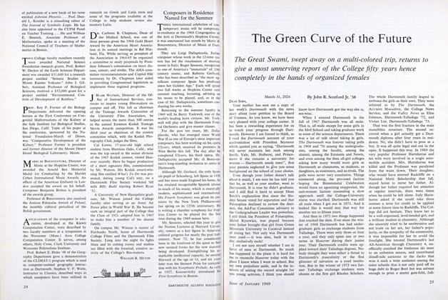
The Green Curve of the Future
JANUARY 1969 -
 Feature
The Best of The Old Farmer's Almanac
June 1992 -
 Feature
ELEAZAR WHEELOCKS, IN DIRECT LINE, STILL LIVE – IN TEXAS
February 1962

