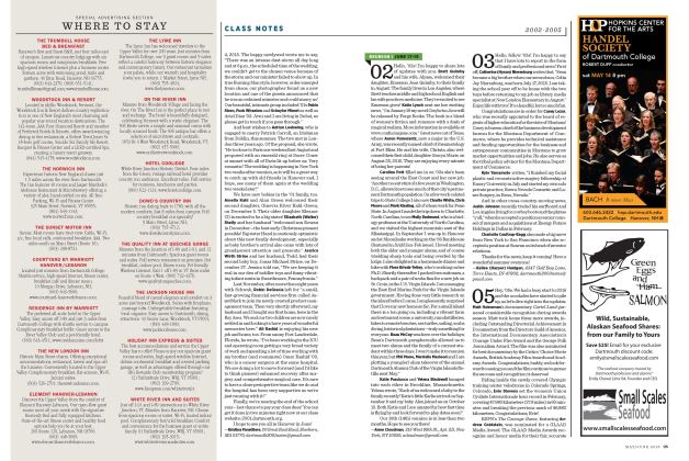
Knowing What Noah Knew
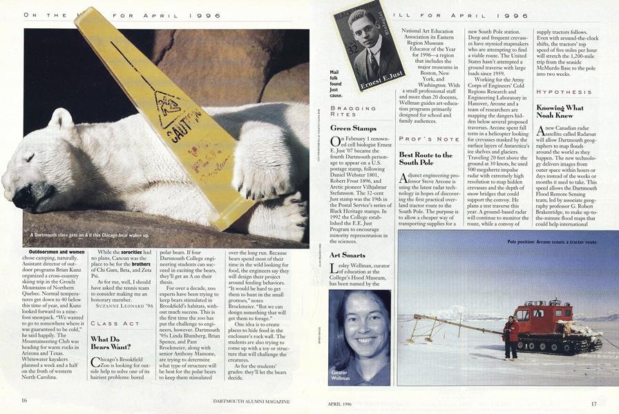
Anew Canadian radar satellite called Radarsat will allow Dartmouth geographers to map floods around the world as they happen. The new technology delivers images from outer space within hours or days instead of the weeks or months it used to take. This speed allows the Dartmouth Flood Remote Sensing team, led by associate geography professor G. Robert Brakenridge, to make up-to-the-minute flood maps that could help international relief efforts, particularly in countries where poor communications make it difficult to find out which areas are in most need of help.
The Radarsat data will be added to the growing global flood archives the Dartmouth team is developing from news clippings, satellite images, and other sources, information that may help researchers predict flooding as well as changes in the earth's climate. Though computer models suggest that global warming should cause increased flooding, "you will not be able to know if this is actually the case unless you have reliable data on annual flooding," says Brakenridge. "Unless you take the pulse of the earth every year, you don't know whether global changes are taking place."
You can view the maps yourself, on the flood project's World Wide Web page: .
Pole position: Arcone scouts a tractor route.
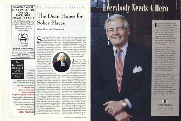
WILL TO EXCEL UPDATE GOAL: $500 MILLION CAMPAIGN ENDS OCTOBER 7,1996 TIME LEFn AMOUNT TO RAISE: 7 24 MONTHS MILLION FIGURSS CURRENT AS OF FEBRUARY 29, 1996.
More From This Issue
-
 Feature
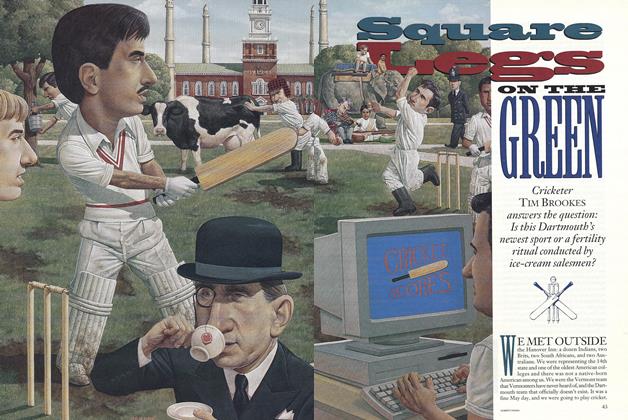
Square Legs ON THE GREEN
April 1996 -
 Cover Story
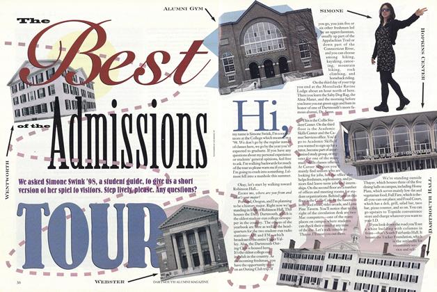
We asked Simone Swink '98, a student guide, to give us a short version of her spiel io visifors. Step lively, please, Any questions?
April 1996 -
 Feature
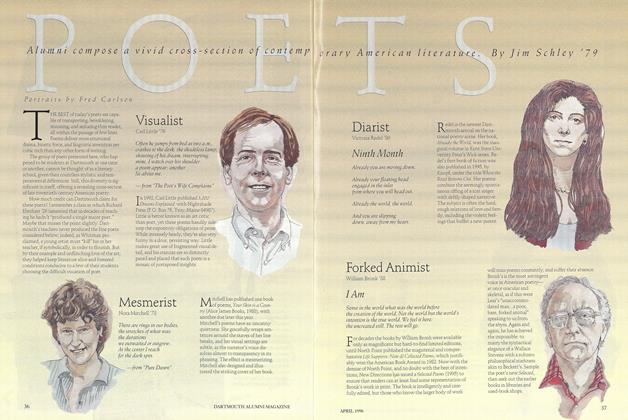
POETS
April 1996 -
 Article
The Dean Hopes for Sober Places
April 1996 -
 Article
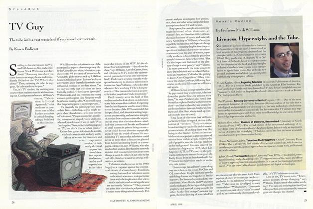
TV Guy
April 1996 -
 Article
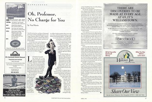
Oh, Professor, No Charge for You
April 1996