NOAA Funds Institute
The Cooperative Institute for Remote Sensing of Biogeophysical Processes was formally established at a signing ceremony held at the New Hampshire Statehouse in July. The institute, a joint research effort involving Dartmouth and the University of New Hampshire, is sponsored by the National Oceanic and Atmospheric Administration (NOAA). The institute will evaluate the planet's resource potential and study human impact on the global earth.
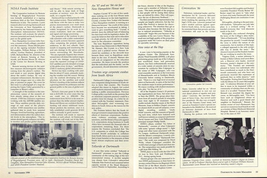
New Hampshire Governor John Sununu, a trustee of both colleges, presided over the ceremony. Those officials present at the signing included President McLaughlin, William Bishop, a NOAA official, Gordon Haaland, president of UNH, Richard Birnie '66, director of the Center of Remote Sensing at Dartmouth, and Berrien Moore 111, director of the Center for Remote Sensing at UNH.
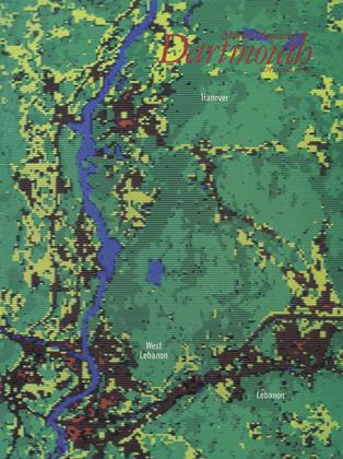
Remote sensing devices on the satellites measure electromagnetic radiation coming from the planet's surface. The end result is very precise digital data about the earth's surface. By way of computer enhancement, the data is converted into images seen on a video display or printed on paper. The cover for this issue is a photograph of a map depicting the Upper Valley generated by a computer in Birnie's office.
A strength of the institute is the complementary nature of the research efforts already taking place at the two schools. UNH has extensive experience working with the AHVRR satellite system. These satellites provide daily coverage of vast areas of the planet's surface. UNH researchers use satellitegathered data to study how seasonal changes, fossil fuel burning, agriculture, and deforestation affect the carbon dioxide levels in the atmosphere. "The institute should greatly enhance our ablity to monitor and predict global change," said Moore." With remote sensing we will be able to keep track of huge swatches of territory, even the whole earth, on a regular basis."
Dartmouth has worked primarily with the Landsat system. These satellites provide Birnie with the data to make very precise measurements over small areas of the planet's surface. Dartmouth is widely recognized for its work in resource evaluation, land use analysis, and signal and image processing.
The potential of the institute to provide scientists with a fuller understanding of earth systems becomes apparent when comparing the projects already underway at the two schools. Dartmouth is mapping and monitoring the acid rain damage in the spruce and fir forests surrounding Mt. Moosilauke. "We are especially hopeful that remotesensed data will detect the earliest stages of acid rain damage, particularly because the repeated coverage of LANDSAT satellites provide detailed coverage of the globe every 16 days," said Birnie. UNH is studying global deforestation.
NOAA has been working with satellites for about 27 years, primarily studying the weather and the oceans. Bishop sees the institute developing new applications for the satellites and noted NOAA's funding of the institute reflects a growing interest by politicians and the general public in the area of global ecology.
NOAA's first-year grant to the institute is $125,000. In a few years that figure could rise to $500,000. The endowment from NOAA is far more important than the dollar amount implies. Birnie and Moore are confident this base funding will attract additional funds. Moore predicts the institute, once it is fully established could generate $5-$10 million annually in grant monies.
The institute will reside in separate facilities at each school. At Dartmouth, the institute will work out of the Sherman Fairchild Physical Science Center.
Officials present at the establishment of the Cooperative Institute for Remote Sensingof Biogeophysical Processes .were, left to right, Dartmouth President David McLaughlin, New Hampshire Governor John Sununu, NOAA official William Bishop,and UNH President Gordon Haaland.
More From This Issue
-
 Feature
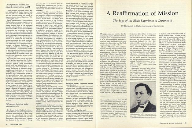
A Reaffirmation of Mission
November 1986 -
 Feature
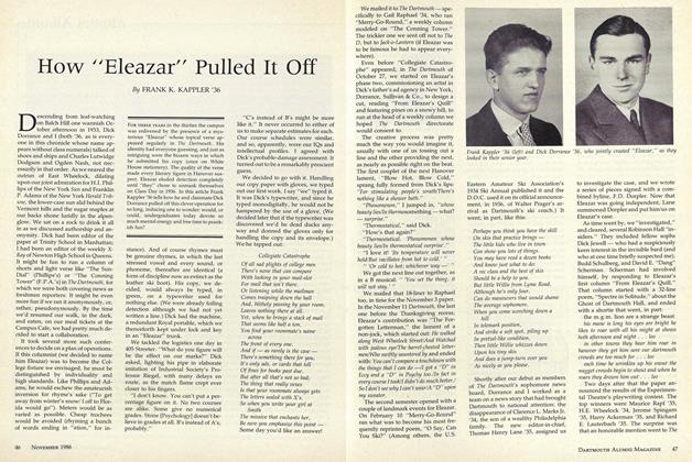
How "Eleazar" Pulled It Off
November 1986 -
 Feature
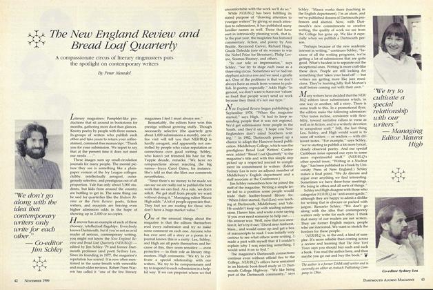
The New England Review and Bread Loaf Quarterly
November 1986 -
 Article
Dartmouth Authors
November 1986 -
 Article
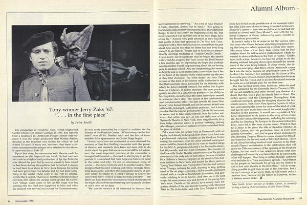
Tony-winner Jerry Zaks '67: "...in the first place"
November 1986 -
 Article
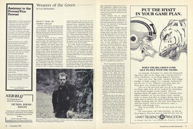
David O. Hooke '84: Chubber's Boswell
November 1986