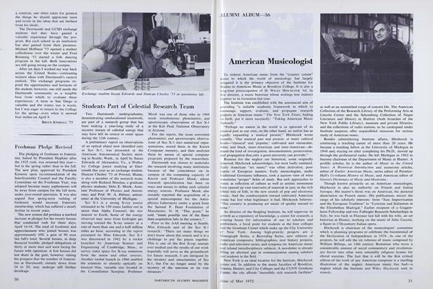
Satellites and the Grant
Managing timberland normally involves ground work. But for the past 20 years, Richard Birnie '66, professor of earth sciences, has been using high technology to study and understand the northern forest—very high technology.
In collaboration with College forester Kevin Evans, Birnie and his team of undergrads and grad students analyze data collected from imaging and positioning satellites that are engineered, launched, and maintained by NASA. Remarkably, these satellites require just 100 minutes to complete a polar orbit and just 14 days to cover the expanse of the earth's surface. Spectrometers on the satellites measure invisible, infrared radiation that is reflected from the vegetation in the forest. Birnie processes the satellite data into maps identifying the distribution of hardwood, softwood, or mixed-wood timber. Data on clear-cut areas assist conservation biologists in determining the migration and nesting patterns of animal species, habitat fragmentation, and the desirability of certain areas for wildlife habitation.
Much of Birnie's workhas focused on the 27,000-acre Second College Grant in northeastern New Hampshire. The findings play a role in determining the economic value of the Grant's resources and the impact of different cutting and land-use practices. Satellite "spectral" data have given Birnie a sense of dramatic changes over the passage of time, both geologic and weather-related. The immense damage from the January 1998 ice storm on the southeastern facing slope ofMt.
Dustan, for instance, was clearly evident on the satellite images.
The Second College Grant has been as an ideal training and control area. Following these pioneering efforts, Birnie hopes, remote sensing and mapping will be successfully applied in the management of larger forested regions throughout the country.
Satellite technologymonitors timbertracts on Earth.