TONS OF MAPS
Baker collection rates as one of the finest in the country
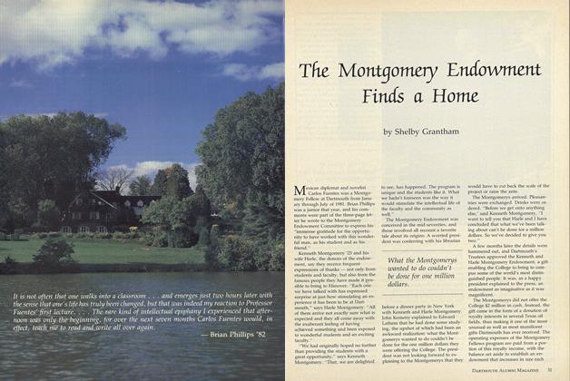
DARTMOUTH'S proud claim to having one of the finest college libraries in the country is based not alone on the number of volumes in Baker, nor on the architectural excellence and beauty of that structure, nor even on its highly regarded "open stack" policy. Much of the excellence of Baker Library rests in the special libraries, collections and services which contribute so heavily to the educational program of the College.
An outstanding example of a "library within a library" is the Dartmouth Map Library, one of the foremost in its field. In the sheer size of its collections, the Dartmouth Map Library ranks among the top ten in the nation. With over 85,000 maps, 1,000 atlases, nearly 1,000 reference books and pamphlets, and over 100 models and globes, Dartmouth is outranked in volume only by such map libraries as those at Harvard, the University of Illinois and Yale, and by non-college collections held by the Library of Congress, the National Archives, the Army Map Service and the American Geographical Society.
Impressive as these totals are, they are important only in so far as they serve the needs of researchers and the educational departments at Dartmouth. The Dartmouth Map Library was developed and is maintained to provide students, faculty and staff with the maps, charts, atlases and other reference resources needed to supplement classroom material and texts and to assist with research and study projects.
Over the course of a year most of the College departments use the facilities of the Map Library to varying degrees. Last month, for example, the Great Issues course had a special exhibit on the Presidential elections prepared with the assistance of the Map Librarian, and in the Periodical Room there was a map exhibit on the Middle East crisis. The Geology Department is using geological maps in several courses, and a series of Russian maps has been made available for a course on the Soviet Union. The Geography Department, of course, uses the Map Department facilities extensively for all its courses, especially those in Economic Geography and Cartography. The Army, Navy and Air Force ROTC Units at the College are utilizing topographical and specialized military maps, and aerial maps have proven valuable to College officials developing the Dartmouth Skiway at Holt's Ledge in Lyme, N. H.
The Dartmouth Map Library is housed in six rooms of varying size on the second floor of the west wing of Baker Library. The space is divided between an administrative office, a large main map room, an atlas and reference room and two smaller rooms, used chiefly for storage. Additional maps are stored in a first-floor room in Baker, while some two tons of maps sit in the basement awaiting cataloguing and filing.
The maps, atlases and reference materials that make up the library have been accumulated, largely during the past decade, from many sources. About one-third have come from the government, some from the map section of the Library of Congress, and others "on deposit" from various governmental agencies. A large number have been gifts from alumni, parents and friends - many through The Friends of the Library - and the remainder have been acquired through purchase or exchange.
Historically, Dartmouth's map collection goes back to the post-World War I era when Nathaniel Goodrich, College librarian from 1912 to 1950, made a start on a collection of maps, largely because of an interest developed through work with the Army Map Department during the war and his own world travels.
A deluge of Army Map Service depository maps after World War II, coupled with an increased interest in and use for maps, led to the establishment of the Dartmouth Map Library in 1946 with Professor Van H. English in charge. Working under Professor English as a student assistant was George R. Dalphin '47, who became Map Librarian in 1948, when Professor English took over full-time teaching duties in the Department of Geography.
While Dartmouth's 85,000 maps cover a wide range of fields and subjects, their great strength lies in the field of historical cartography, especially in such sub-fields as the New England area, British and French colonials, and early American imprints. Another strong interest, fostered by the Northern Studies program, lies in the polar regions; and in recent years the Department of Russian Civilization has expanded the collection of maps on the Soviet Union.
Outstanding in its field, the Dartmouth Map Library charts its own plans for the future to meet ever-increasing demands for maps, exhibits, reference materials and services. Additional space is being sought for storage and cork walls are planned for the Map Department corridors to provide additional display space. The Department is also seeking the services of an Assistant Map Librarian to help with administrative duties and the heavy backlog of cataloguing and filing. The Map Library collection expands almost daily. Through planned growth, it will continue to make a major contribution to the educational work of the College.
Some Rare Items in the Collection
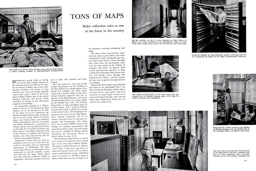
Prof. Robert W. Decker, whose Geology course uses the Map Library,is shown assisting students in photo-geological interpretations.
One end of the main map room, showing some of the Map Library's flat files, a student working on a class assignment, and a secretary working on the never-ending cataloging job.
Off this corridor are the six rooms housing the Map Library in Baker's east wing. Included are an administrative office, an atlas room, three storage rooms and, at the far end, the main map room.
The lighted tracing board in the main map room gets frequent use by students copying maps of all types for reports and other class assignments.
George R. Dalphin '47, Map Librarian, selects a wall map from the case containing the largest of the maps in Dartmouth's collection.
Maps provide a timely current events display on Poland, Hungary and the Middle East in the Periodical Room on Baker's main floor.
Robert E. Huke '48, Instructor in Geography, finds the Map Library's up-to-date maps on Russia a valuable classroom help in his course on the Soviet Union.
The Atlas Room contains some of the finest items in the Dartmouth collection.
Prof. Van H. English of the Geography Department, former head of the Map Library, is one of the most extensive users of maps in his course in Cartography.
The earliest dated terrestrial globe in America, recently acquired through The Friends of the Library, is examined by Mr. Dalphin and Prof. Herbert F. West '22, secretary of The Friends, who have given numerous items to the Map Library. The globe shown was made by James Wilson of Bradford, Vermont, in 1811.
An early map of New England, printed sideways, from the rare Atlas Maior of Joannes Blaeu which was published in Amsterdam in eleven volumes from 1654 to 1662. The Dartmouth Map Library has the complete set of these atlases.
A manuscript map of the American Revolutionary War, drawn by a French lieutenant to show American and British troop movements and battles in 1777.
Another manuscript map of the American Revolution illustrates the plan of the British raid on New London, Connecticut, led by Benedict Arnold on September 6, 1781.
CLIFFORD L. JORDAN '45
-
 Feature
Carnival Post-Mortem
March 1956 -
 Feature
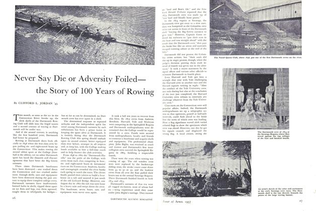
Never Say Die or Adversity Foiled the Story of 100 Years of Rowing
April 1957 -
 Feature
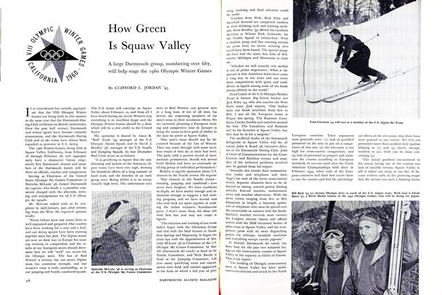
How Green Is Squaw Valley
February 1960 -
 Article
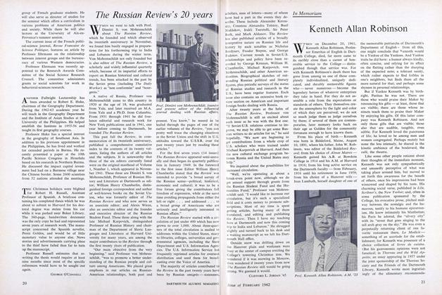
The Russian Review's 20 years
February 1962 -
 Feature
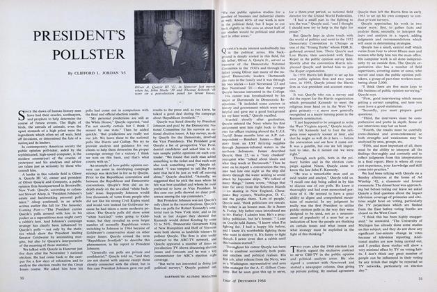
PRESIDENT'S POLLSTER
DECEMBER 1964 -
 Feature
The Library Revolution
MAY 1968